Free Fiction — and apologies

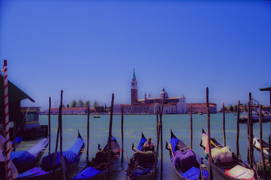
The other day at Powell’s Books (Portland), I came across a wonderful little book called “The Mapmaker’s Dream” by James Cowan. The book is the translation of the diary of Fra Mauro, a sixteenth century Venetian monk and cartographer who set out to make a perfect mappamundi (map of the world) though he had never stepped outside the confines of his cloisters. Instead he gathered travelers’ tales through exchanges of letters or interviews of missionaries, merchants and soldiers travelling through Venice. His task became well known and he received envoys from as far afield as the court of the Chinese Emperor. Not only was this book astounding for the fact that word of his venture travelled so far in the 16th century, but the information he collected and the workings of his mind fascinated me.
Yes, his travelers brought stories of the Cyclopedes, beings in the southern hemisphere with only one huge foot that they used for hopping and also for shade when the sun in the antipodes became too fierce, but envoys also brought other tales that caused good Fra Mauro much reflection. This was what captured my attention for they showed a keenness of mind and a shifting view of the world much like new age philosophers. This seemed strange for his time; given Fra Mauro was a devout Catholic.
His encounters left him pondering whether the soul could possibly transmigrate into another person upon the death of the body and whether we are ‘all drifting towards a more complete life in someone else’. The visit of an old Jewish merchant from Rhodes left him contemplating how the loss of place (in the holy land) ‘condemned the man to inhabit his loss forever’ and how the rootless person came to inhabit a region of his own mind instead.
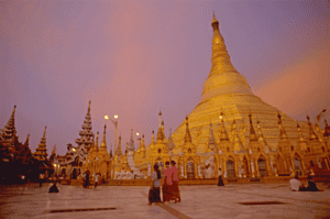
Visits from others left him considering how venerated holy relics become something more because of that veneration, and how those objects take on their own life because they unite an idea that men aspire to. They left him wondering at cultures that worshiped Satan and yet were not evil, and others that determined their actions and their future through the calls of seven forest birds.
But most of all he wrote of the minds of travelers. He was struck by the notion that travelers not only travelled with their bodies, but also that they travelled in their minds and were transformed by that travel or, alternatively, transformed the place they had been. He wrote of the journeys of envoys sent to find the mythic kingdom of Prestor John and looked at the evidence of such a kingdom – the long letter still held in the Vatican archives that describes a kingdom so perfect it could not possibly exist. Fra Mauro concluded that the reason the search for Prestor John’s kingdom became all consuming, was not just the desire for aid against the Moslem hordes, but the desire to know that it was possible for paradise to exist on earth. Travelers longed to become ‘slaves’ to Prestor John’s perfection and bounty. But the country of Prestor John would never be found because it was only built on dreams.
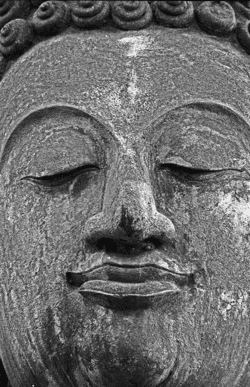
Ultimately, Fra Mauro realized the challenge of creating a perfect map arose because each man’s perceptions of place were different and any ‘perfect’ map must capture not only the land forms, but also the forms of the world created by men’s minds.
The lowly monk of Venice completed his life’s work, but today no trace of his perfect mappamundi exists, except in references in the pages of his journal. Perhaps, like the worlds he described, it faded away to become the world as we know it today, but more importantly what his journal shows is a man of deep thought who’s Sixteenth Century perspectives still resonate with readers today.
Thank you, Powell’s, for this gift.
Case in point was the Greek philosophers’ belief in symmetry which, in cartography, surmised that because there was a large landmass in the northern hemisphere (Europe and Asia and North Africa), there must be a similar large land mass in the south. This led to world maps carrying the weight of a large continent south of the equator. In earlier maps this continent encircled the Indian Ocean, but when Vasco da Gama sailed the Cape ofGood Hope to circumnavigate Africa, the great continent receded a little, and simply reached out from the limits of Antarctica. It became known as Terra Australis.
So they turned their notion of symmetry northward.
If South America and Africa both had southern straights that gave passage from one ocean to another, then surely there must be something similar in the north. This led to the search for the Northwest Passage that scattered the names of many an explorer across Canada’s north. Think Frobisher Bay. Think Baffin Island and Hudson Bay, just to name a few.
Explorers from Spain, France and England sent explorers up and down the coast of North America and deep inland through the great lakes, seeking that passage. The English sent exploration teams one after another into Canada’s north, many never to be heard from again.
When the search from east to west brought no results, they sent famed Captain Cook, and then Captain Vancouver, exploring and mapping the Pacific coast of North America still seeking that elusive fjord that would spread out and become a fulsome channel all the way to England.
It was not to be, but such legends died hard. And today perhaps the ancient Greeks are laughing, as global warming opens up the northern passage they prophesized. Symmetry exists at last.
Geometry and triangulation had actually proven themselves previous to Eratosthrenes. They’d been used to measure the heights of the pyramids and had also had been highlighted by the ancient Chinese as an important principle of mapmaking. Unfortunately this wasn’t well known in Europe even though the Arabic influence brought such surveying methods into old Spain. Instead, Europe was still transcribing tourist tales and fanciful stories onto paper and selling these for parlor display based on their beautiful illuminations, rather than spending their time surveying the landscape.
Apparently the first European to get serious about the use of triangulation was a Dutchman named Gemma Frisius who suggested using triangulation as a means to pinpoint the location of places on maps. The technique gradually spread through the 1500s, but it wasn’t until the 1600s that Europe got serious. A Dutchman named Snell began the process of surveying the landscape with a chained line of triangles (much like the triangles the American flag is folded into)across the countryside for a distance of 70 miles. The use of Snell’s process led to a rise in the quality of the Dutch maps and, in comparison, the decline of French maps into dependence upon engraving and elegant color as their selling feature – all well and good as a parlor adornment, but not what you want if you actually want to do something with the map you made.
Free fiction Wednesday continues the urban fantasy thriller of shapeshifter Jaymee Gray and her immortal lover. Click Here.
So people knew the world was round, they just didn’t know the size of it, nor did fully understand its shape.
Estimating the size of the earth also harkens back to the Greeks. Both Aristotle and Archimedes had erroneous estimates of the earth’s circumference, but history hasn’t left any clues as to what those estimates were based on. The
Chinese apparently sent two men to measure the earth and they walked it from north to south and east to west before coming up with the result of 134,000 kilometers (hopelessly in error).
The first (known) scientific measurement of the earth’s circumference came from an Egyptian named Eratosthenes during the time of the Ptolemy Kings. He knew of a water well in Southern Egypt where at noon on a certain day of the year the sun shone straight down to the bottom. He also had made observations that on the same day in Alexandria, at noon, there was still a shadow. He hypothesized that if he could measure the angle of the shadow on that day, he should be able to estimate the size of the earth. Using a vertical column he did just that, measuring the distance of the shadow from the base of the column. Then, with the length of the column, and the length of the shadow, he could calculate the third side of the triangle and determine the angel of the sun’s rays. Using basic geometry he was able to hypothesize that the earth was 46,000 kilometers in circumference – too large since we know today that the circumference is about 40,000 kilometers – but not too shabby for a man working with only a shadow and a column.
The debate about the actual size and shape of the earth continued over the centuries, with various other size estimates coming to prominence at different times. Contributing to the issue was the debate over the actual length of a degree, a debate that raged for centuries. This led to numerous ‘thinking men’ attempting to determine the length of a degree through methods ranging from counting the turns of a carriage wheel as it travelled between two points, to taking laborious chain measures of distance across the English countryside. It took debates of Newtonian and Cassini theories to help scientists realize that they were – in a word – wrong – about there being a definitive length of a degree.
You see, Newton formulated the theory of universal gravitation and that centrifugal force would mean that the earth could not be perfectly round. If he was right, due to the earth’s spin, the earth would be flattened at the poles and would bulge at the equator. Refuting this was the work of French scientist, Jacques Cassini, who had found that the length of a degree seemed to get slightly shorter at the poles compared to the equator. He theorized that this meant that the earth was shaped more like an egg, with poles drawn out and the equator flattened.

But what they showed was that the length of a degree will depend on the latitude:
All of which may be where the phrase ‘giving someone some latitude’ comes from: What they do (and how far they go) will depend on where they’re standing.
Which could explain the disparity in approach the Germans and Greeks are espousing to deal with the Eurozone financial crisis. It’s all latitude.